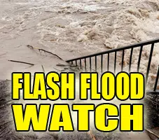
FLASH FLOOD WATCH REMAINS IN EFFECT THROUGH FRIDAY MORNING...

The Flash Flood Watch continues for portions of central Indiana, east central Indiana, north central Indiana, south central Indiana, southeast Indiana, and
  west central Indiana, including the following areas, in central Indiana, Bartholomew, Boone, Clinton, Decatur, Hamilton, Hancock, Hendricks, Howard, Johnson, Madison,
  Marion, Morgan, Rush, Shelby, and Tipton. In east central Indiana, Delaware, Henry, and Randolph. In north central
  Indiana, Carroll. In south central Indiana, Brown and Monroe.  In southeast Indiana, Jennings. In west central Indiana, Clay,
  Fountain, Montgomery, Owen, Parke, Putnam, Tippecanoe, Vermillion, Vigo, and Warren, through Friday morning.

Heavy rains at times will fall onto a saturated ground.  Flooding may be localized, but very severe where it occurs.

A Flash Flood Watch means that conditions may develop that lead to flash flooding. Flash flooding is a VERY DANGEROUS SITUATION.

You should monitor later forecasts and be prepared to take action should Flash Flood Warnings be issued.


