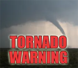
The National Weather Service in Indianapolis has issued a  Tornado Warning for...

  West central Boone County in central Indiana...
  Montgomery County in west central Indiana...
  Northwestern Putnam County in west central Indiana...

* Until 330 PM EDT.

* At 256 PM EDT, a severe thunderstorm capable of producing a tornado was located 9 miles southwest of Crawfordsville, moving northeast
  at 50 mph.

  HAZARD...Tornado and quarter size hail.

  SOURCE...Radar indicated rotation.

  IMPACT...Flying debris will be dangerous to those caught without shelter. Mobile homes will be damaged or destroyed. Damage to roofs, windows, and vehicles will occur.  Tree
           damage is likely.

* This dangerous storm will be near...
  New Market around 300 PM EDT.
  Ladoga around 305 PM EDT.
  Crawfordsville around 310 PM EDT.
  Darlington around 320 PM EDT.

This includes Interstate 74 between mile markers 32 and 47.

PRECAUTIONARY/PREPAREDNESS ACTIONS... TAKE COVER NOW! Move to a basement or an interior room on the lowest floor of a sturdy building. Avoid windows. If you are outdoors, in a
mobile home, or in a vehicle, move to the closest substantial shelter and protect yourself from flying debris.

This cluster of thunderstorms is capable of producing tornadoes and widespread significant wind damage. Do not wait to see or hear the
tornado. For your protection move to an interior room on the lowest floor of a building.

&&


