This hazardous weather outlook from the National Weather Service is for central Indiana including Carroll-Warren-Tippecanoe-Clinton-Howard-Fountain-Montgomery-Boone-Tipton-Hamilton-Madison-Delaware-Randolph-Vermillion-Parke-Putnam-Hendricks-Marion-Hancock-Henry-Vigo-Clay-Owen-Morgan-Johnson-Shelby-
Rush-Sullivan-Greene-Monroe-Brown-Bartholomew-Decatur-Knox-Daviess-Martin-Lawrence-Jackson and Jennings counties
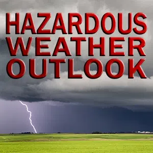
DAY ONE…Today and Tonight.
Outlook: Widely scattered thunderstorm activity is possible this afternoon and tonight. Severe storms are not expected at this time.
Hazards: Cloud to ground lightning, brief heavy rainfall, gusty winds.
Timing: Thunderstorms activity possible after 200 PM EDT.
Discussion: A warm and humid air mass will result in the potential for widely scattered showers and thunderstorms this afternoon into tonight.
Afternoon heat index values will reach the mid to upper 90s this afternoon.
DAYS TWO THROUGH SEVEN…Thursday through Tuesday.
Outlook: Thunderstorm activity is possible at times from Thursday through next Tuesday. Severe storms are not expected at this time. Heavy rainfall amounts are possible towards the end of the week, and on into the weekend.
Discussion: A frontal system is expected to drop south into the area later this week, and linger into the weekend. This will result in an increased chance for showers and thunderstorms towards the latter parts of the week, and on into the weekend.
SPOTTER INFORMATION STATEMENT… Spotter activation is not anticipated.


